Copyright © 2025 Persatuan Perunding Jurukur Berlesen Sarawak (The Association Of Consulting Licensed Land Surveyors Sarawak) PPM-004-13-23061997. All Rights Reserved.
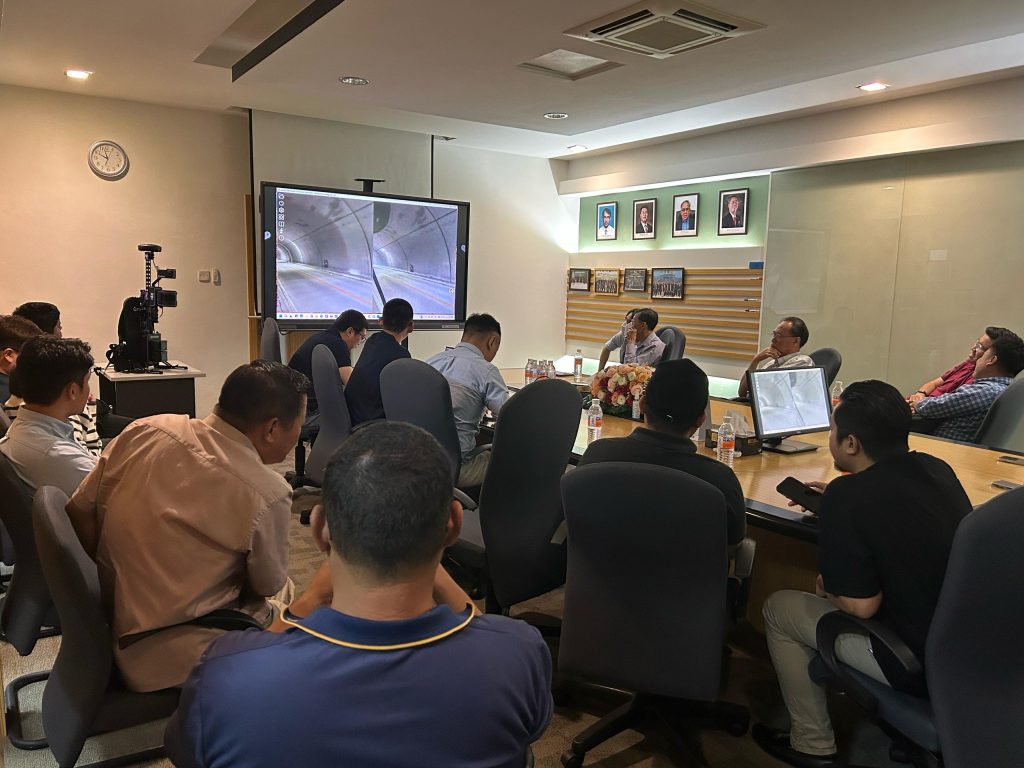
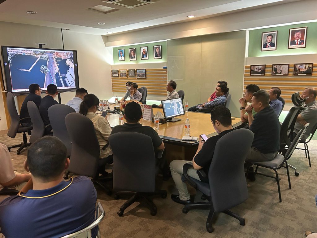
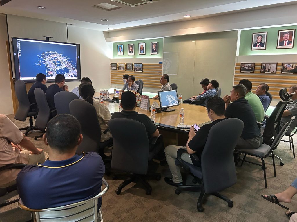
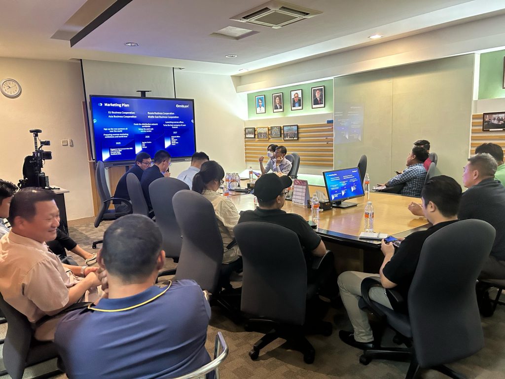
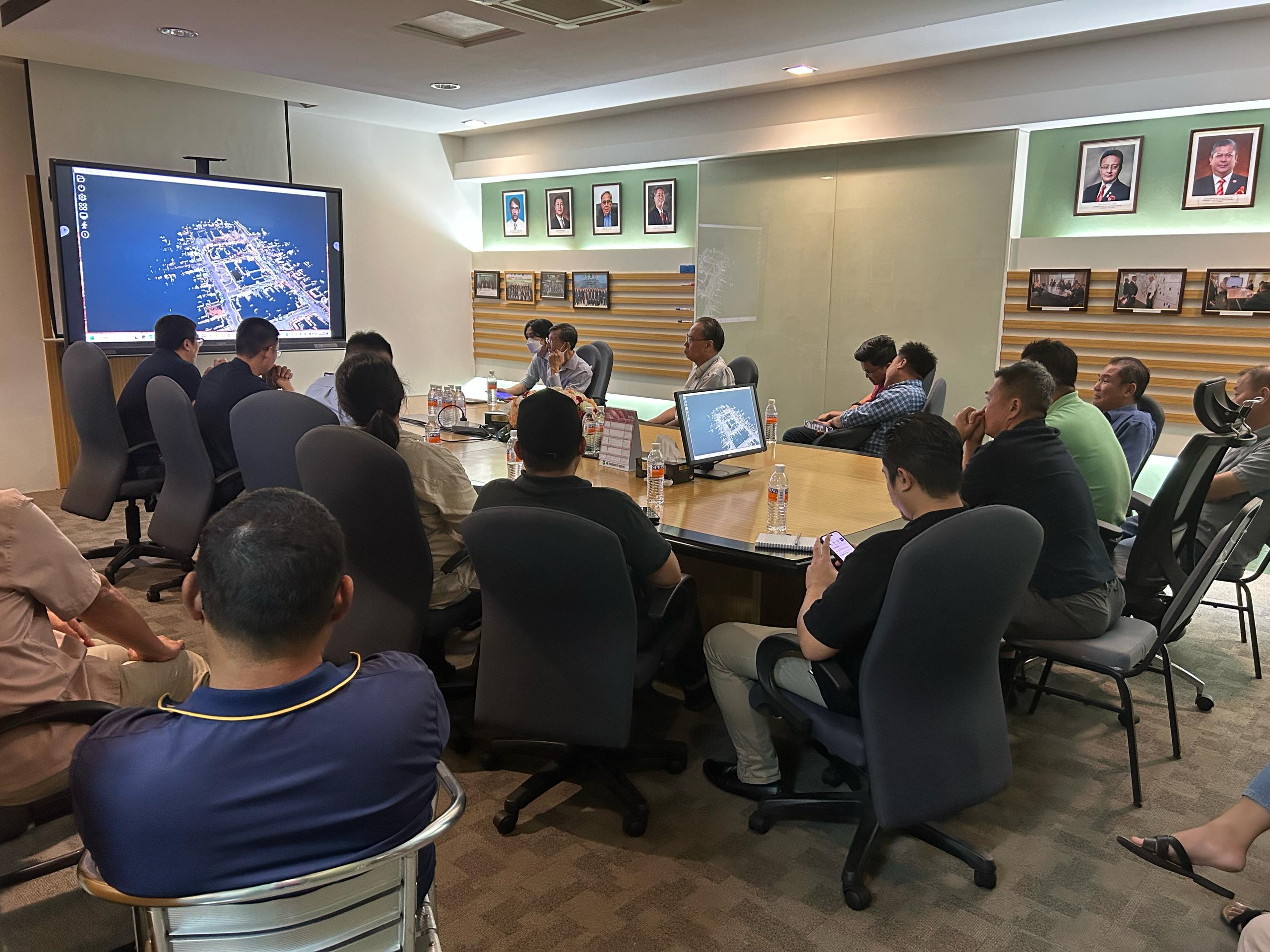
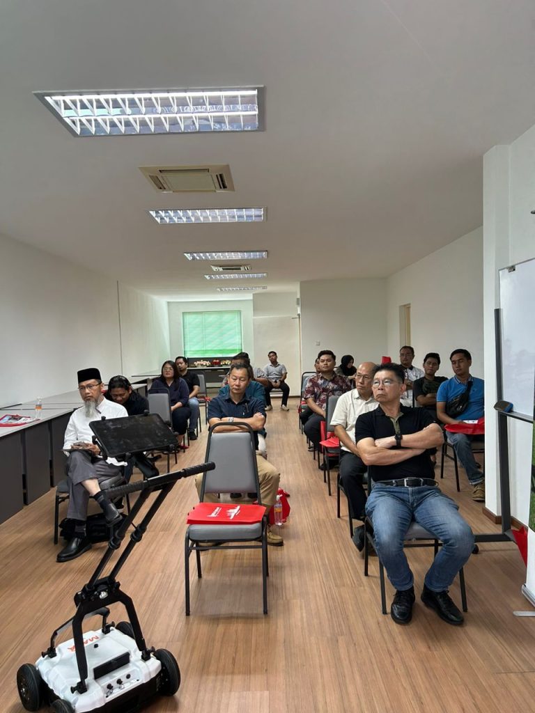
A demonstration of the SLAM R8+ was held on 15 April 2025 at the ACLS conference room. The event was attended by approximately 20 people.
Simultaneous Localisation and Mapping is a core technology in robotics, autonomous vehicles, and 3D mapping. It enables a device (robot, drone, handheld scanner, etc.) to map an unknown environment in real-time and keep track of its own location within that environment all at the same time.
SLAM systems typically use sensors such as:
· LiDAR
· Cameras
· IMUs (Inertial Measurement Units)
· GPS (for outdoor or hybrid systems)
The system builds a 3D map (often a point cloud) of its surroundings while calculating its own position relative to that map, which is especially useful where GPS is weak or unavailable (e.g., tunnels, mines, indoors).
The R8+ is a portable 3D LiDAR scanner model made by SLAMTEC, a company known for SLAM-based LiDAR and robotics solutions.
🌟 SLAM R8+ Equipment (Model R8+)
Key Features of SLAMTEC R8+:
| Feature | Description |
|---|---|
| LiDAR Technology | Uses high-frequency LiDAR to scan environments in real-time. |
| 360° Coverage | Full horizontal field-of-view to scan surroundings in all directions. |
| SLAM Algorithm | Built-in algorithms for real-time localization and 3D mapping without needing GPS. |
| Point Cloud Output | Generates accurate 3D point clouds of the scanned area. |
| Compact & Portable | Designed for field use — handheld or mountable on robots/UAVs. |
| Long Range | Effective scanning range varies — often up to 150 meters or more. |
| High Precision | Typical accuracy of cm-level, depending on conditions. |
| Applications | Indoor mapping, underground surveying, robotics navigation, asset inspection, VR/AR, etc. |
